

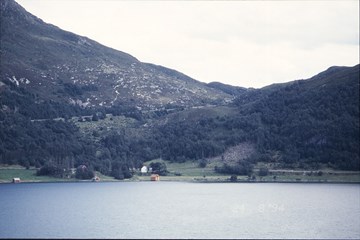
In former days travelling along the Norwegian coast took mostly place on sea. The old roads across the strips of land called Mannseidet and Dragseidet at Selje were important communication links along the coast, and they have always been used to avoid crossing the treacherous waters of Stadlandet by boat. Mannseidet was therefore both a safer and shorter alternative if you wanted to og north or south. Besides, the landing connections for boats on both sides were excellent. Today the road across Mannseidet is a national cultural site.
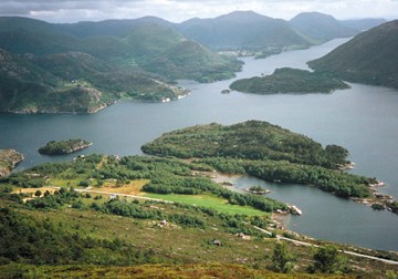
The postal road in Gulen was formerly a part of the "Trondhjemske" postal road. In 1868, the road was no longer used as a postal road as the post was transported by steamer to Vadheim.
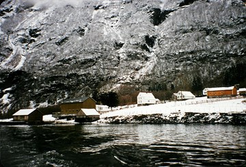
The present main road between Oslo and Bergen follows more or less the same route as the old postal roads did. However, from Lærdal it no longer follows the fjord but cuts through the mountains in a series of long tunnels. A section of the old postal road along the Nærøyfjord is still intact. This road was mostly used in the winter months when ice covered the Nærøyfjord and it was hard to use a boat to and from Gudvangen.
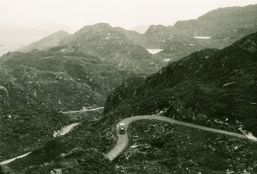
Totland-Deknepollen was the last remaining distance before there was a continuous road between Måløy and Oppland across the mountain pass of Strynefjellet. The first allocation came in 1938, but it was the Germans who were in charge of the road construction during the war. About this road it was later said: "The road construction shows how it is possible in a difficult and expensive terrain and with modest demands as to the road standard and equipment to build a road, which according to Norwegian standards was highly suitable".
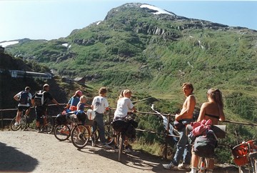
In 1893, the Norwegian Parliament - Stortinget - decided that the Oslo-Bergen railway line would go by way of Voss and Myrdal. The construction of the railway line made it necessary to build a construction road between Flåm and Myrdal. This road was completed in 1898. The road and the railway construction created a new and changed community in the valley of Flåmsdalen. New occupational groups emerged, and the tourist traffic became an important industry. Even today the road is an important element for the tourist industry. Some 16 000 bikers use this road in the summer months.
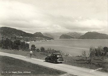
Florø was founded in 1859, and was for close to 150 years the only city in the county of Sogn og Fjordane. What was highly unusual was the fact that the city had no road connection whatsoever, in spite of being located on the mainland. Only in 1945 was Florø linked to the rest of the county by road. The roadwork had been going on since 1922, mainly financed in the form of employment relief from the state. Florø was a periphery in the county economically and politically until after the Second World War. This is probably the reason why the only city in the county had to wait for nearly 90 years to get a road connection to Førde and the rest of the region.
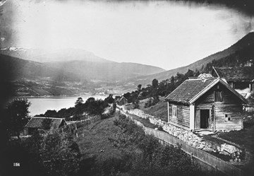
Kaupanger has always been an important historical place in Sogn. There is a reference to the place in the saga literature and it has been used as a market place, a church site, a court site, and as residences for bailiffs and county governors. The contact with the outside world took place by means of boats, but there was also a road connection between Kaupanger and Sogndal. In earlier times, this was hardly more than a good riding path. In 1848, the standard of the path was improved to a cart road, and, in 1938, a car road was built to connect with a ferry at Kaupanger. The ferry quay in the bay of Amlabukta was for a long time one of the busiest in the county.
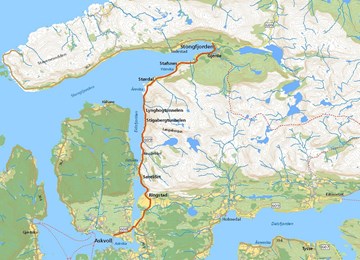
Stongfjorden was one of the first industrial villages in the county of Sogn og Fjordane, with the first aluminium plant in Scandinavia. The industrial development began in 1897, and grew parallel to the development at Vadheim. In 1906, the BACO (British Aluminium Company) built the first aluminium plant in Scandinavia there. Only in 1946 was Stongfjorden connected by road to the municipal centre of Askvoll.
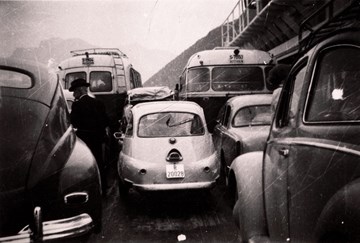
One of the most important road and ferry connections today with a high volume of traffic is the connection between Lavik and Oppedal in western Sogn. This is the E-39, the main highway between Kristiansand and Ålesund, also called the Coastal Highway. The connection to the neighbouring county in the south, Hordaland, had a rough start. The road connection between Hordaland and Sogn to Brekke on the south side of the Sognefjord was not considered important and relevant enough by the county council.

Funds for new public roads were in the 1930s mainly allocated to interior regions and to linking roads. The need for roads in the county of Sogn og Fjordane was massive, and it was therefore difficult for petitions to be heard. But for the Solund municipality it was a question of improving the living conditions for its people. The struggle for state road 606 thus became a very important political issue for the politicians from Solund during the years after the war. In 1967, the road was finished. Today the road is listed as a monument.
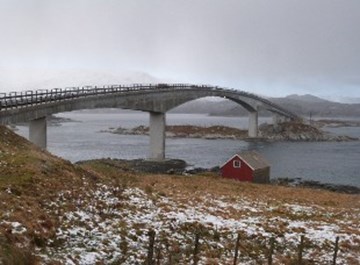
A continuous road connection along the Bremangerlandet with ferry across to Måløy came in 1949. In 1977, the island of Frøya was connected to the highway (RV) 616, and the ferry connection Smørhamn-Kjelkenes was established.
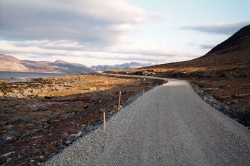
The farms on the mainland between Florø and Midtgulen had to wait for a long time before they got any road. Up until 1993, people in this area did not have any road connection to their own municipal centres or to the main road network. Communication by boat was the only alternative. This road was built bit by bit, and the final part of the road was completed in 1993.
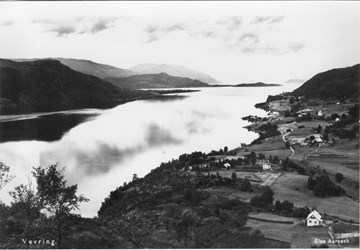
The public road between Naustdal-Vevring-Stavang-Eikefjord was completed section by section, and not without discussions. The road between Stavang and Vevring was completed in 1968. Two years later, the road to Naustdal was opened for traffic. Still there were many isolated hamlets. Only in 1982 were the villages and hamlets along the Høydalsfjord linked to the road network.
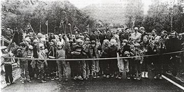
State road 609 connects the Askvoll peninsula with Førde through Stongfjorden without ferry. The 16-kilometre-long section from Øygard in Førde to Selvik in Askvoll was built in the years 1975-1980, and was given the name of "Folkelånsvegen". The reason for the name is that the road was paid in part by a "public shareholding company". People from all over the Sunnfjord district bought shares. Without this great interest it is doubtful if the road would have been built.
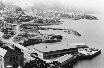
It was the development of hydroelectric power that created the industrial growth in Svelgen from 1914. However, it took a long before any road construction took place. Only in 1965 was Svelgen connected to the rest of the county through the building of highway (RV) 614 from Svelgen to Haukå, with a ferry connection across the Norddalsfjord to Bjørnset. The extention further north to Ålfoten and a ferry service across the Nordfjord between Isane and Stårheim came in 1972.
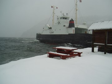
Long before the heated debates about a bridge across the Dalsfjord, there was conflict about roads across and around the Dalsfjord. The roads had to wait. Some wanted a road on the north side of the fjord, and others on the south side. When a ferry connection across the Dalsfjord was suggested, there was disagreement. Nevertheless, a ferry crossing was established. The first ferry arrived in 1937, but only after the Second World War did it become a permanent service.
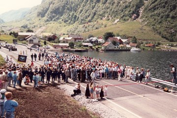
The road construction between Instefjord and Oppedal was an important link in the so-called Coastal Highway between Stavanger, Bergen and Ålesund, the E-39 crossing four counties. The road was opened in 1990 and gave a new ferry connection and a shorter crossing of the Sognefjord. In addition, the road connected the villages on the southern area of the Høyanger municipality to the main road network. To top it all, the 10-kilometre-long road received "The beautiful roads award" in 1992.
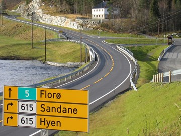
In the summer of 2005, the Minister for Transport Torild Skogsholm opened the section Storebru-Knapstad on highway (RV) 5 between Førde and Florø. This was the last section in a major project of giving the two Sunnfjord cities an adequate road connection with a central road stripe.
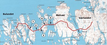
The archipelago of Værlandet - Bulandet consists of the area to the west of the Aldefjord. In 1981, Askvoll municipality forwarded a suggestion for a road connection between Værlandet and Bulandet, but the construction of the westernmost county road in Sogn og Fjordane started only 20 years later. The road was opened for traffic in December 2003.
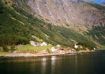
The farms of Bakka and Tufto are located on the western side of the Nærøyfjord about six kilometres north of the village of Gudvangen. In the mountain area to the west of the farms we find the mountain farms of Rimstigen, Breidalen and Røyrdotten. From the farms the track climbs steeply up the mountainside to an altitude of 1300 metres. Then the track descends steadily down to the summer farms of Breidalen and Røyrdotten, 6-700 metres above sea level, in the valley of Jordalen.
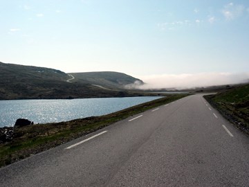
Far to the west towards the ocean lies the hamlet of Kråkenes. A cart road to this place was built in the 1940s. The road could hardly be used in the winter months, and only in 1997, did the hamlet get a decent road connection south to Kvalheim and Måløy.
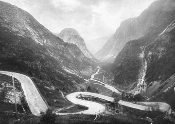
"Stalheimskleiva" is the name of the spectacular road in the steep mountainside in the innermost part of the valley of Nærøydalen leading up to the farms of Brekke and Stalheim. The road is extremely steep with a climb of about 250 metres. In 1980 a new road with two tunnels was opened for traffic.
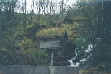
The old road across the strip of land called Berstadeidet to Bryggja has throughout the years served many purposes. The road has been a church road, "suitor road", pilgrim road, and postal road. It has been called a riding path, a drifters' road, and a road leading up to mountain farms. For hundreds of years it has been a meeting place for people from both sides of Berstadeidet. It has never been used as a road for cars.
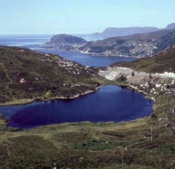
From time immemorial people have used the road across the strip of land called Mannseidet between the Moldefjord and Kjøde instead of venturing out on the treacherous waters of Stadhavet. A journey across Mannseidet today is a journey through parts of the history of Norwegian road-building. The royal road across Mannseidet was chosen by the local council of Selje as its cultural heritage site in the Cultural Heritage Year 1997.
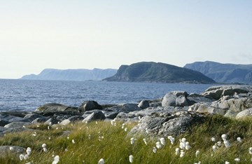
Selja, the holy island which has such an important place in our history, is situated about one kilometre off the mainland. The island covers an area of about 1.5 square kilometres, and it is possible to walk around the island.
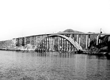
Slim and agile, state road 606 winds through the Solund landscape. But it came at a price to knock one's way through the conglomerate, in order to connect the municipality from east to west. And those who had the courage and tried the hammer and the drill at Illekleiva 140 years ago, would never think it could be done.
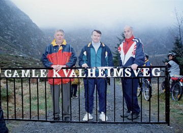
The village of Kvalheim has the ocean as its next-door neighbour and the landing conditions have always proved difficult in bad weather. There was a strong need for a road to Raudeberg. In 1880, the first road was ready for use. In the 1990s, the old road was repaired by a joint voluntary effort by people from Kvalheim, Refvik, Vedvik and Raudeberg and re-opened as a hiking trail in April, 1998.
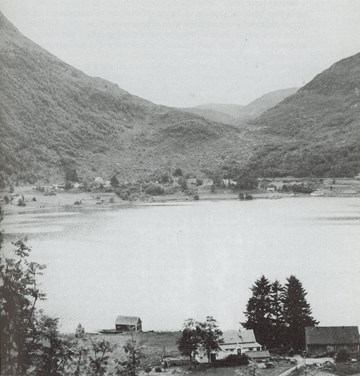
Between the farms of Rimstad and Berstad there used to be an old road, used by pilgrims, postmen and local people alike. There are still many traces of this road. In 1991, a march was organized along the old postal road from Selje and Bryggja.