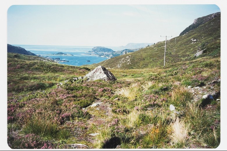
The treacherous waters of Stadlandet
In 1771, the Danish geographer Hans J. Fyhn described the strip of land called Mannseidet in the following way: "Stadlandet is exposed to wind and waves from all sides, because it is not protected by islands and islets, and there are many underwater rocks and skerries(..) For this reason it is very dangerous to sail past the the point of Stadt, and consequently, travellers usually prefer to go by land across the strips of land."
An early main road
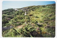
Ever since the Viking Age, both Dragseidet and Mannseidet were considered to be main roads. Mannseidet was the shortest crossing with its three kilometres. Dragseidet was two kilometres longer. These roads were among the first constructed roads in the west of Norway. In some of the old sagas of Norwegian kings we can read about travels across Mannseidet. These travels were usually in connection with the struggles for power between the various Viking kings and between Norwgian and Norwgian-Danish kings. There are references to Mannseidet in the sagas of Harald Fairhair, Haakon the Good, Olaf Tryggvasson, and in the saga on the "baglere" who fought the "birkebeinere" (supporters of king Sverre).
A road for pilgrims
In Catholic times, prior to the Reformation in 1537, the relics of the Selja monastery were a well-known destination. Pilgrims came to Selja both by land or sea. It is not unlikely, therefore, that some pilgrims used the road across Mannseidet on their way to the Selje monastery. The farm Eide on the Moldefjord probably belonged to the Selje monastery, which also owned land properties further to the north-east at Vannylven in Sunnmøre. This meant that there was much traffic across Mannseidet by people from the monastery as well as by tenant farmers.
A royal road
People tend to call the old road across Mannseidet the royal road because three Danish-Norwegian kings travelled across this strip of land. The three kings were Christian V in 1685, Frederik IV in 1704 and Christian VI in 1733. Christian V came from Trondheim in July 1685 on his way to Bergen. The weather was bad and the royal entourage crossed Mannseidet. The king rode on horseback and they encountered thick fog. In the magazine "Vidar", which was published in 1889, we can read the following report from the journey across:
"This Mannseide is nothing but a terribly high mountain, almost twice as high as the Dovre mountains and just as difficult to cross both because of its steepness up and down but also because of the narrow and uneven road cut into the mountainside, where the horse must jump from one rock to another."
When king Cristian VI travelled the same road nearly 50 years later, he also rode on horseback, but had to walk some places because the road was so steep and uneven that he did not dare remain seated on the horse. A large entourage of 188 people from the royal court and the central administration accompanied the king. Some 1000 sailors manned the ships that escorted the royal entourage to Norway. Queen Sofie Magdalene and her mother, markgravine of Bavaria, Sophie of Brandenburg, were both carried across Mannseidet. The rest of the entourage had to walk on foot. After the journey the king made a memorial goblet in gold that cost some 6000 "riksdaler". A picture of king Christian VI's travel across Mannseidet hangs in "Norsk folkemuseum" in Oslo.
Driving road in 1918
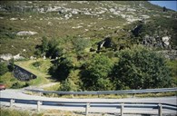
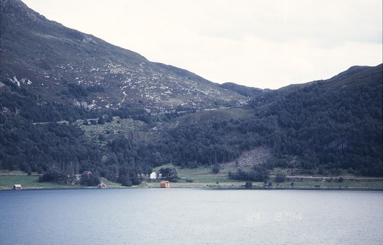
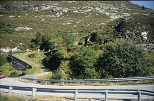
In the latter part of the 19th century, the issue of building better roads across Dragseidet, Mannseidet and Sandvikseidet was brought up from time to time. However, before any of these roads were improved, the road called Morkedalsvegen was built in 1875, from Leikanger and northwards. A new road across Dragseidet was built in 1884-89. Later on the road across Sandvikseidet (eight kilometres) was completed in 1901. This followed a long struggle as to the prioritizing of the roads across Sandvikseidet and Mannseidet. Before the road across Mannseidet was built, a new road came between Seljevågen and Eide in 1895. This new road was built much higher up in the steep hillside at Hellebakken, and a part of the old road across Mannseidet from Eide was no longer in use. Only in 1918 was the whole road across Mannseidet by way of Enerhaug to Kjøde completed. The road network of Selje was then connected to the national road network across Maurstadeidet. In 1919, Selje had a road network of 55 kilometres both along and across the peninsula. In 1956, the old road across Mannseidet was altered and improved.
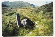
Mannseidet is a protected cultural heritage site
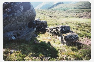
In 1997, the Public Roads Administration was instructed by the Ministry of Transport and Communication to work out a national protection plan in connection with an "Action plan for the management of cultural heritage sites". All state bodies were given a special responsibility to protect their own cultural heritage sites. All the counties registered their cultural sites that were of special value and interest. The old road across Mannseidet was selected as worthy of protection, and this road is among the 350 road cultural sites throughout the country. In the argumentation by the Public Roads Administration the following words are used: "The road is a well-maintained example of a typical road across a strip of land". Today the road is very much used by hikers.