

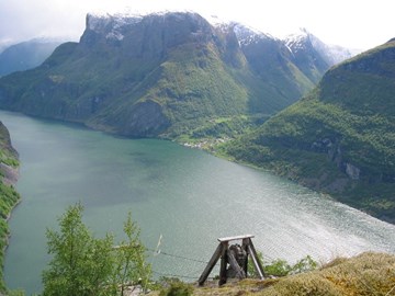
Undredal is a very special small town, located about half-way into the Aurlandsfjord. Until the late 1980s, the town could only be reached by boat. Today the small town is connected by road west to Voss and Bergen as well as east to Lærdal and Oslo. The road leads down all the way to the fjord, where visitors can experience the smallest church in the Nordic countries, a well as the famous local goat cheese.
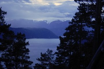
The hamlet of Frønningen is located between Revsnes and the entrance to the Aurlandsfjord in the municipality of Lærdal. The hamlet borders to Kaupanger and Fresvik along the main Sognefjord and to the public land areas of Lærdal and Aurland. East-southeast of the hamlet is the majestic mountain of Bleia rising to an altitude of some 1700 metres. The Bleia nature reserve and the forest from the inner Frønningen settlement up towards Bleia is part of the world heritage area called West Norwegian fjord landscape.
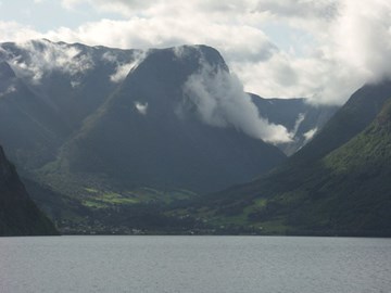
The village of Fresvik is located on the southern side of the Sognefjord close to the entrance to the Aurlandsfjord. The village now belongs to the municipality of Vik, but was formerly within the boundaries of Leikanger municipality. The main industries in the village are traditional agriculture and tourism based on the beautiful countryside, and it has a rich cultural-historical heritage.
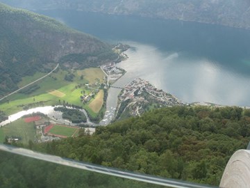
The place name of Aurlandsvangen comprises a large area, corresponding to the Vangen "sokn" (sub-parish). This includes the farms along the fjord from Skjerdal to Otternes, as well as the farms up to the lake of Vassbygdevatnet. Traditionally, the farms from the centre of the village - Vangen - and northwards have been looked upon as a separate village - Utbygdi. The area called Aurlandsvangen has a varied history, stretching far back in time.
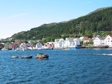
Kalvåg enjoys a sheltered location on the eastern side of the island of Frøya. Throughout many centuries this was a good harbour for fishermen in the herring and cod fisheries. The many warehouses lining the bay show that fish trading also played an important part at Kalvåg. Fish processing and trade nowadays are carried out in larger buildings. Thus, Kalvåg is not at all just a far-away, picturesque fishing village, and the old boathouses now serve as accommodation facilities for tourists. The place is one of the few thriving centres along the coast of Sogn og Fjordane.
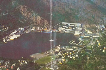
In Bremanger the water resources formed the basis for the development of the industrial town of Svelgen. It took some time before any establishment of industry that could utilize the power, and it was only from the 1950s that Svelgen emerged as a major industrial site, with the company Elkem Bremanger as its dominating workplace. After the municipal boundary regulations in 1963, Svelgen became the administrative centre for the new Bremanger municipality.
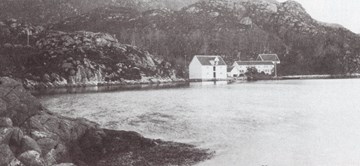
Bryggja is located on the northern shore of the Nordfjord, just to the east of the entrance to the fjord. The place was separated from the farm Runnshaug in 1838. From days of old, Bryggja has had road connection to Vanylven across the strip of land called Maurstadeidet, and to Selje through the valley of Rimstaddalen and across Berstadeidet. Bryggja has a good harbour, well sheltered by the islands and islets to the west. The place used to belong to the municipality of Davik, but was transferred to Vågsøy by the municipal boundaries regulations in 1964.