Could have some beer
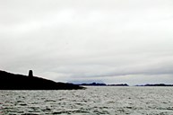
Those who crossed Solund chose a sea-lane depending on weather and size of the vessel. There are four north-south lanes.
The easiest and least exposed to sea waves was the strait of Krakhellesundet. But there too, wind and high waves could be sharp, and sailing vessels often had to wait for fair wind in the north, near Keila, or at small Krakhellehamnen, where they also could have some beer at the inn. The biggest vessels chose this lane, or perhaps Ytre Steinsund. But out west the lane was more open, and on several fjord stretches the boats had to fight the sea waves in bad weather.
Looked for whitewashed stone slab
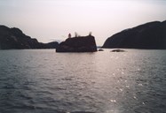
Indre Steinsund was the shortest and best protected, most of the way. Small sloops and other small vessels chose this lane if the wind was cooperative. But before the lane was dredged, the vessels were apt to run aground if the skipper was unacquainted with the danger. The trickiest spot was Vekje, where there is a bridge today. Here the rule was that, coming from the north, one must not turn starboard until a whitewashed, big stone slab could be seen in a sound 600 metres away. But there were those who were impatient and were stranded on the skerries. During the improvement work on the lane in the late 1930s, the divers found evidence of earlier accidents.

Heavy souvenirs from the sea floor
Three millstones were brought up, and better still: a round sandstone ball, which nature itself must have formed somewhere. Then somebody had the idea and loaded the treasure, weighing nearly a ton, onboard and took it with him?
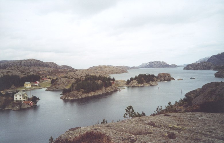
When the sailing vessels had to wait for better wind, there were several good harbours. Particularly well suited were the anchor places near the inn of Steinsundholmen. After the lane was improved, boats of well over a hundred feet could get through, but the bridge from 1963 above the sharpest curve made the lane a little narrower. The traffic in the lane was at its busiest in the years during and after the Second World War.
String of glimmering vessels
From Christmastime on, stout vessels from the south and slim fishing vessels from the Bergen area sailed north to take part in the fat herring fisheries. For days on end, one after the other. At night and in stormy weather, herring vessels in scores were anchored, not least in the excellent harbour at Hardbakke. Ropes and wires could be seen in all directions, coming up under the rowboats of the schoolchildren. Into January the flood turned south. The engines of fishing vessels could be heard around the clock. The fleet followed the herring to the spawning grounds in the Haugesund area. Purse seine vessels chose the two widest sea-lanes, or perhaps the Straumsfjord, if they did not sail the open sea to the west of Utvær and Gåsvær.
The holiday-makers in majority
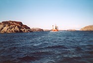
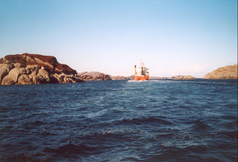
Crossing the north of Solund, big vessels tend to go to the west of Ospa. But the narrow, strong current Skomakarleia (literally: the shoemaker lane) was and is the main lane for the fishing fleet and small freighters. Here many collisions have taken place, and not few have touched stone.
It is much more peaceful today. The fisheries take place elsewhere, fishing vessels are few, and all engines are almost noiseless. But the Hurtigruta (coastal express) still sails dignified through Ytre Steinsund, express boats and fast taxi boats hurry from headland to headland. Freighters of containers and sand are still in business. The summers, when the fleet of holidaymakers run southwards and northwards through the straits, remind of the old days.