The first place not good enough
In the early summer of 1940, the Germans came to Solund and wanted to pick spots for lookout posts. A handful of specialists occupied and stayed for a time at the Paktarhuset at Hardbakke. It was the shipping lane Indre Steinsund, the most heavily trafficked by the fishing fleet, they particularly wanted to watch.
In the autumn of 1940, the Germans arrived at Hersvik, and requisitioned rooms in a residence there. On Heia, a short distance south of Hersvik, they built a signal station. They were in some doubt about the suitability of the place, and they soon realized that the view of the Lågøyfjorden and Skomakarleia was not satisfactory.
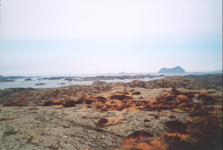
Unobstructed view of fjord after fjord
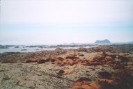
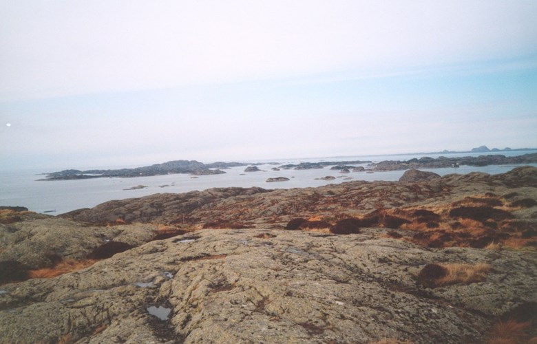
They had a fair enough view of Hersviksundet and Kråkøysundet, but this was only a small part of what they wanted to control. They therefore planned a new post on the summit of Hugøy. This was 101 metres above sea level, with an unobstructed view of the shipping activity in the west, of the Lågøyfjorden and Gåsværosen, of parts of the Buefjorden to the north, and toward Lammetun fort. Therefore, in 1942, they moved to Hugøy and requisitioned rooms in a house there while the station was being built, which took some time. In Kråkesundet, there was a good quay, which they seized, and which was an ideal harbour for the patrol boats which brought them what they needed.

A mule for a horse
From the quay to the top there was a steady ascent of about 800 metres in fairly easy terrain. Therefore they used a mule for transportation.
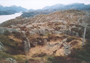
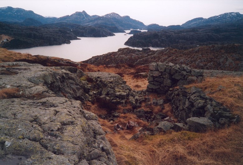
On Knolten, they built a signal station of three by three metres, and two storeys in wood and stone. From this place there was a view in all directions, with a mountain crest for shelter toward the west. They built a lookout post in stone, with a gun position and a glass roof a short distance to the west of the summit. The last to be built were the barracks, with bed and kitchen facilities. They measured 5 by 16 metres and were located in a depression in the south slope of Knolten. In the same depression there were a stable and a storehouse.
Cow in the mine field
The area was secured with barbed wire on all accessible sides, and with landmines where intruders could be expected. A cow was killed. The station, which was under construction right up to the autumn of 1944, never came under fire. The crew, which could be up to twelve, were under orders to go about quietly, but to be vigilant. They had only light weapons for their defence.
There has been speculation if this signal station observed the sub-chaser MTB 345 on its way to Ospa in July, 1943. Some time earlier the boat had been seen near Utvær. In the summer of 1945, the mines were removed and the station dismantled.